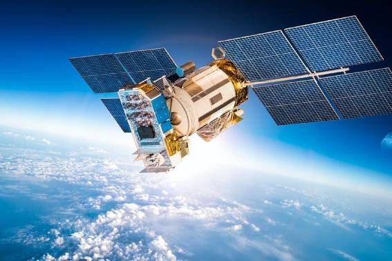
We live in a digital era marked by technological breakthroughs, with remote sensing playing a pivotal role in the development of information technology. As a core technology, remote sensing is widely applied across various sectors of society.
Covering nearly all socio-economic sectors
In the future, remote sensing data is expected to become even more widespread and integrated into state agencies, businesses, and individual use. The demand for remote sensing data is continuously growing, with the trend of incorporating different data types, including satellite-based Earth observation, aerial photography, drone images, and ground-based measurement data.
Simultaneously, the supply of remote sensing data is becoming more diverse, ranging from low-resolution imagery such as MODIS, VIIRS, and OceanSat to medium-resolution images like Landsat 8 and Sentinel 1, 2, and high-resolution and super-high-resolution images like LISS-IV, SPOT 6/7, Planet Scope, Pleiades, KompSat, and WorldView. In addition to commercial data, valuable datasets such as Landsat 8 and Sentinel 1-5 are also available for free, facilitating more accessible access to data for users.
The application of remote sensing, combined with advanced processing technologies in modeling and database creation, significantly contributes to economic and social development. Specifically, when goals are well-defined, remote sensing data collection, processing, and application can be tailored to meet the needs of various fields such as disaster monitoring, agriculture, healthcare, environmental resource management, transportation, and urban development.

Research and application of Big Data technology to support remote sensing data utilization
Harnessing big data technology to leverage remote sensing data
According to Mr. Tran Tuan Ngoc, Director of the National Remote Sensing Department, remote sensing technology will become more prevalent and widely used. The department is utilizing this technology to replace manual labor gradually. With the availability of free remote sensing data and the rapid development of information technology in the digital age, policymakers and managers will increasingly rely on remote sensing data for tasks such as monitoring water resources, managing carbon emissions, and updating national land-use databases.
However, the vast array of available remote sensing data introduces new challenges, particularly in processing large volumes of complex data with various analytical methods. Research on integrating Big Data, cloud computing, artificial intelligence (AI), and machine learning has been intensifying to address these challenges in recent years. Platforms like Google Earth Engine, Amazon Web Services, and Hadoop are becoming essential tools for remote sensing data analysis and application.