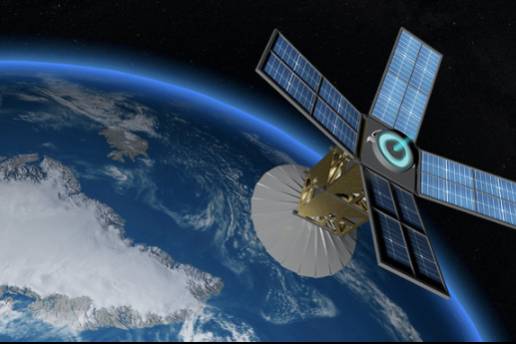
Remote sensing technology has become a versatile and multi-disciplinary tool, opening a key direction for the unified management of natural resources and environmental monitoring nationwide. Therefore, from now until 2030, Viet Nam aims to master the technology for manufacturing remote sensing satellites to meet the country'scountry's development needs.
Strong applications in natural resource management
Mr. Le Quoc Hung, Deputy Director General of the National Remote Sensing Department under the Ministry of Natural Resources and Environment, stated that remote sensing technology has rapidly developed in recent years. Data collected from Earth observation satellites is becoming increasingly detailed and frequent. Combining remote sensing with traditional monitoring technologies has significantly improved the accuracy of observation data.
Currently, remote sensing technology is widely applied in managing natural resources, including land, water, minerals, and forests, as well as environmental monitoring.
In recent years, Viet Nam has applied remote sensing technology in projects such as: Mapping Pollution and Wastewater Discharge, using remote sensing and GIS technology to create a database and maps tracking pollution and wastewater discharge from industrial zones and urban areas, providing warnings for high-risk regions in central economic zones; Offshore Monitoring, monitoring key offshore islands and seas using remote sensing to support socio-economic development and national security; and Coastal Erosion Monitoring, observing coastal erosion in critical areas of Central Viet Nam.
Notably, with the completion of the project "Monitoring Marine and Island Resources Using Remote Sensing Technology", Viet Nam has, for the first time, created a comprehensive picture of the country's maritime and island resources. This highly detailed depiction offers extensive, multi-temporal, accurate, and rapid data thanks to one of the most advanced technologies today—remote sensing.
In addition, many key projects in the natural resources and environment sectors have also strongly adopted remote sensing technology, such as Drought and Salinity Intrusion Assessment and Environmental Monitoring Systems...
A critical task of the National Remote Sensing Department is to provide Spot 6/7 satellite imagery, support, and guidance and create a legal framework to strengthen state management across ministries, sectors, and localities. This effort aims to further promote remote sensing technology's application in managing natural resources and the environment.
By leveraging remote sensing technology, Viet Nam is advancing its ability to manage resources and protect the environment, building a solid foundation for sustainable development in the future.
 Photo: Illustration
Mastering remote sensing technology
The National Remote Sensing Department leader said that the current development trend of remote sensing technology in the world and the future may differ significantly from the current technology in use. This requires Viet Nam to analyze, forecast, and grasp those trends to have appropriate scientific and technological development directions.
Early research and application of new technologies in remote sensing will help Viet Nam take advantage of human knowledge and shorten the gap in level through research cooperation, transfer, and development of remote sensing technology. Therefore, it is necessary to prioritize key technology groups in remote sensing, focusing on investment in research and development in these technology groups.
Currently, the National Remote Sensing Department is continuing to promote the proposal of scientific research tasks focusing on solutions to provide a scientific basis, perfect policy mechanisms, and legal documents serving State management of remote sensing activities; improve technological processes towards automating the application of remote sensing technology in monitoring resources and the environment; perfecting the system of remote sensing equipment on satellites; network of remote sensing receiving stations; storage and processing systems, remote sensing databases...
Accordingly, from now to 2030, Viet Nam has set a goal of mastering the technology of manufacturing remote sensing satellites, systems of stations receiving and processing remote sensing data, remote sensing satellite control stations, systems for taking images of the Earth's surface from uncrewed aerial vehicles and balloons; building a system of receiving stations, data processing systems, and a national remote sensing image database to meet the needs of socio-economic development, national defense, and security.
Along with that, Viet Nam also focuses on widely applying remote sensing technology, using remote sensing products and data in industries and fields, focusing on essential investigation, monitoring, supervision of resources and environment, search and rescue, natural disaster prevention, climate change response; and strengthening international cooperation activities on remote sensing.